
Geographic Information Systems (GIS)
WHAT IS GIS?
Geographic Information System (GIS) is mapping and data analysis software used to collect, organise, analyse and present geographic data. In short, GIS is used to handle geographic data with location as a variable, relative to other data and the true ‘real world’ location of that data.
HOW DOES ECOLOGY BY DESIGN USE GIS?

Day to day, Ecology by Design uses GIS software to improve the accuracy, reliability and usability of our ecological consultancy services. Long gone are the days of submitting pencil-drawn maps to inform planning applications; we use GIS to present results and recommendations in ‘real world’ space, illustrated on professional maps and in various data formats for seamless inclusion within any project.
WHAT GIS SERVICES DO WE PROVIDE?
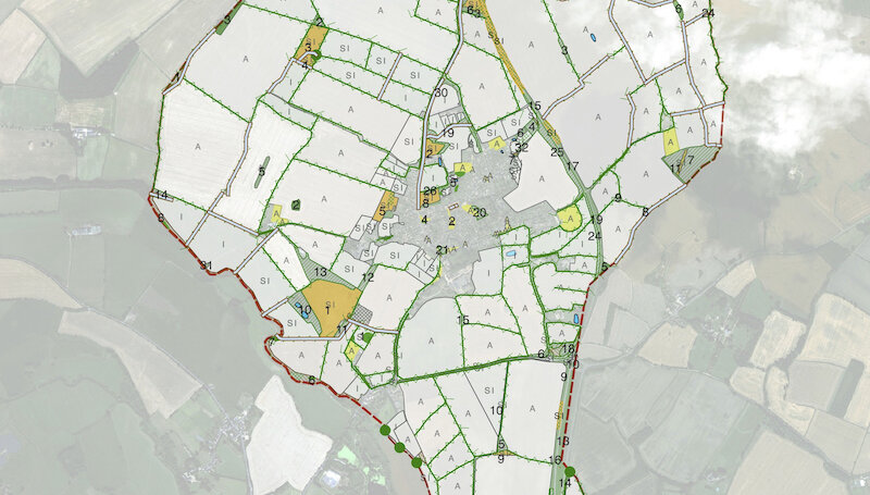
Ecology by Design primarily uses GIS to produce and analyse spatial ecological data. Most frequently, this is with the production of maps that illustrate the results of our own surveys and assessments. We also use GIS to liaise with our clients and other specialist consultants – overlaying, editing and adding to each other’s data.
As well as using GIS to aid our own data analysis and presentation, Ecology by Design provide a wide range of digital mapping and Geographic Information Systems (GIS) services, tailored to suite your needs.
Ecological map production and data presentation:

Professional mapping is essential for ecological services. At Ecology by Design, we use GIS to produce accurate and reliable maps illustrating the results of our surveys and assessments including: Phase 1 Habitat Maps, UK Habitat Classification maps, National Vegetation Classification (NVC) maps, and protected species survey results maps. We also offer a digitising service to produce maps and present data collected by third parties.
Biodiversity Impact Assessment (BIA): off-setting and net gain:
Net gains for biodiversity in planning proposals are sought after by national and local planning policies, with off-setting contributions often required for developments that do not achieve a net gain in biodiversity. This requires a Biodiversity Impact Assessment (BIA): an analysis of the ‘before’ and ‘after’ value of development sites. Ecology by Design are always keen to realise the best results for both the natural environment and our clients; working closely with other disciplines such as landscape architects, we use GIS to determine the optimal integration of biodiversity within proposals.
Inter-disciplinary Input:
Close Inter-disciplinary cooperation from an early stage is key to achieving optimum results for development projects. We are always keen to work closely with other disciplines on your project to allow seamless integration of ecology. Our results can be presented in varied formats, compatible with CAD software to allow accurate and simple integration of our recommendations into our clients’ own proposals plans.

Often, significant gains for biodiversity can be made alongside saving time and money just by incorporating existing ecological features within a project’s proposals. Sometimes referred to as ‘Mitigation by Design’, our ‘Ecological Constraints and Opportunities Mapping Service’ is our best way to feed recommendations for incorporating ecology into your proposals. During the early stages of a project, we create plans to depict potential ecological opportunities and constraints across a site. We help our clients integrate these constraints and opportunities into their own layout plans and secure the most practicable ecological solutions.

Other services we provide include:
• Spatial analyses e.g. visitor pressure maps, intersection mapping and route analysis;
• Proofing, repairing and Quality Assurance (QA) of data and maps;
• Creation of templates
Discuss a geographic information systems project
GIS work can be carried out at any time of year. If you'd like to discuss a project or ask questions, call us on 01865893346 or: